Understanding GPS for Backcountry Winter Sports
For those engaging in backcountry winter sports, such as skiing, snowboarding, or snowshoeing, utilizing GPS technology is indispensable. It enhances safety, aids in navigation, and ensures a more enjoyable experience overall.
How GPS Works
Global Positioning System (GPS) technology relies on a network of satellites orbiting the Earth. By receiving signals from these satellites, a GPS receiver can pinpoint its exact location by calculating the time it takes for the signals to travel from the satellites. This process gives users accurate data on their location, altitude, and speed.
The Satellite Network
The network comprises a constellation of at least 24 satellites, strategically positioned to ensure that at least four satellites are visible from any place on Earth at any time. Each satellite continually broadcasts its position and the precise time the message was sent. GPS receivers, whether they are handheld devices, installed in vehicles, or embedded in smartphones, listen to these signals to determine their location.
Triangulation for Accuracy
The accuracy of GPS comes from a method called triangulation. When your GPS device picks up signals from three or more satellites, it measures the distances to each satellite using the travel time of radio signals. By calculating these distances, the device can pinpoint your precise earthbound position. To further enhance accuracy, the system uses updated data from known ground positions. This comprehensive approach results in positioning data that is remarkably precise for navigational purposes.
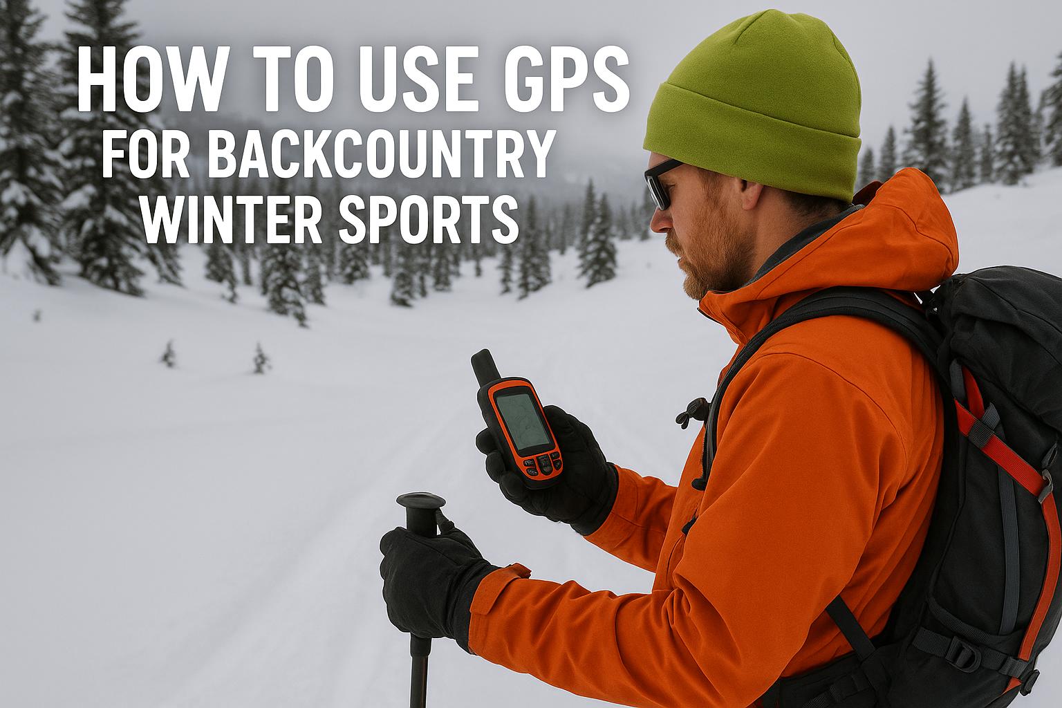
Choosing the Right GPS Device
When venturing into the backcountry in winter, the choice of a GPS device is crucial. Devices vary in terms of durability, battery life, and features. Some key considerations include:
Durability: Ensure the device can withstand cold temperatures and is water-resistant. Winter conditions can be harsh, and a device that fails in extreme weather is not just inconvenient; it can also be dangerous. High-quality devices are built to resist such conditions, providing consistent performance even in challenging environments.
Battery Life: Opt for a device with long battery life, as cold conditions can drain batteries faster. It might also be helpful to look for devices that offer a sleep mode or energy-saving settings to extend battery performance.
Mapping Features: Choose a device that allows loading detailed topographic maps and offers breadcrumb trails for retracing steps. This feature is crucial for exploring minimalistic trails or unmarked terrains, providing you a safe return path and minimizing the risk of getting lost.
Device Types and Specifications
There are different types of GPS devices suitable for backcountry sports. Handheld GPS units are popular for their accuracy and specialized functions, while smartwatch GPS systems offer convenience due to their wearable nature. Some more advanced units include altimeters and barometers, providing atmospheric data alongside positional information. It is essential to select a device based on your specific needs, level of expertise, and type of activity in which you engage.
Benefits of GPS in Backcountry Navigation
In the backcountry, traditional navigation methods, such as maps and compasses, have limitations. GPS technology offers several advantages:
Real-Time Location Tracking: Knowing your exact position on a map at any time increases safety and navigation efficiency. This feature is especially beneficial in white-out conditions or quickly changing weather, where visibility is impaired.
Route Planning: You can plot waypoints and plan routes ahead of your trip, which the GPS device will upload for on-the-go guidance. Advanced devices allow users to modify these routes in response to on-ground conditions, providing a flexible yet safe navigation approach.
Weather Conditions: Some GPS devices come with weather prediction features, which can be particularly useful in unpredictable backcountry environments. These devices can help anticipate weather shifts, enabling users to make informed decisions regarding route alterations or emergency shelter requirements.
Enhancing Safety with GPS
GPS provides essential features for enhancing safety in the backcountry. In addition to tracking location, most devices allow users to share their position with others, enabling a more coordinated rescue operation if necessary. Equip your GPS device with maps specific to your region to ensure accurate navigation and to avoid hazardous areas.
Emergency Features and Communication
Modern GPS devices often include SOS features that can alert rescue teams to a user’s location in case of an emergency. This is particularly beneficial in remote areas where cell service is nonexistent. Devices that integrate GPS with satellite communication can provide users with two-way communication, further enhancing safety by allowing for situation updates and receiving instructions or comfort during distress.
Integrating GPS with Digital Apps
Many outdoor enthusiasts integrate GPS devices with smartphone apps, creating a layered approach to navigation. Several apps allow offline map downloading, which conserves phone battery life without sacrificing access to essential data. Useful apps in the field can display additional information like avalanche danger levels and weather forecasts.
The Role of Mobile Technology
Smartphones, given their versatility, have emerged as powerful navigation tools in conjunction with traditional GPS devices. They offer user-friendly interfaces and connectivity options, allowing users to efficiently manage routes, review track history, and log points of interest. Apps designed for outdoor sports add layers of functionality such as virtual geocaching, distance calculations, and topographic video overlays.
Data Synchronization and Sharing
Synchronizing your GPS device with applications allows seamless sharing of your travel data with fellow adventurers or concerned parties. Shared data can be invaluable for gathering feedback or planning future excursions based on past journeys. Furthermore, participating in data-sharing communities fosters a greater understanding of terrain difficulties and fosters camaraderie among enthusiasts engaging in similar adventures.
Limitations and Best Practices
While GPS is a powerful tool, it’s important to recognize its limitations:
Signal Obstruction: Heavy forests, deep canyons, or bad weather can disrupt GPS signals. To mitigate these challenges, understanding your terrain and route planning are critical. Employing an integrated approach using multiple navigation techniques is often beneficial.
Reliance on Batteries: Always carry spare batteries or a portable charger. Cold weather can significantly impact battery performance, and planning for limited power availability ensures uninterrupted navigation capabilities.
Overconfidence: Do not rely exclusively on GPS. Always carry a map and compass as backups, and ensure you know how to use them. This ensures a multifaceted approach to navigation, maximizing safety and preparation for unexpected technological failings.
Ensuring familiarity with your GPS device before heading out is crucial. Try using the device in less remote areas to understand its functions and mapping system. Regularly updating your device with the latest software and map data enhances functionality and ensures accurate navigation. Test these updates in controlled environments whenever possible to avoid surprises in the wilderness.
Conclusion
GPS technology plays a vital role in navigating the challenging terrains of backcountry winter sports. By understanding its capabilities and limitations, and integrating it with other navigational tools, you can significantly improve your safety and enjoyment in the wild. For further reading on GPS devices and detailed reviews, consider visiting trusted outdoor gear websites such as REI or Backcountry.